Cities & territories
Bruges and the lost harbours of the Zwin
7kiosks along the Zwin cycle loops
4medieval harbours reconstructed
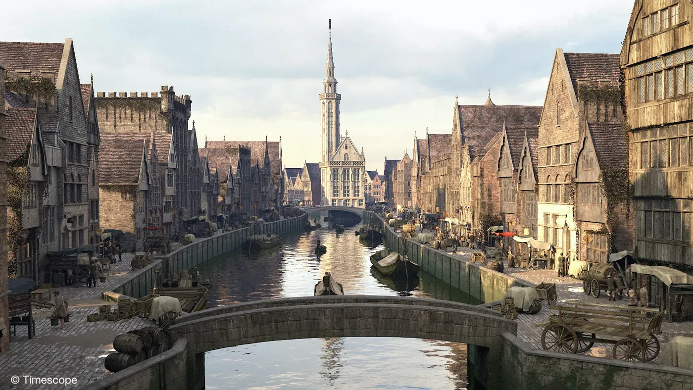
1431Bruges at its peak, restored in 3D
The Zwin is an arm of the sea that connected Bruges to the North Sea from the 12th century onwards, making the city one of Europe’s greatest ports. It gradually silted up, taking with it the towns and villages that river trade had made prosperous. With the "Lost Zwin" exhibition, the West Flanders tourism agency Westtoer was looking for a narrative thread to tell this forgotten past, both in a museum space and along an outdoor route tracing the vanished river.
Reconstructions grounded in archaeology
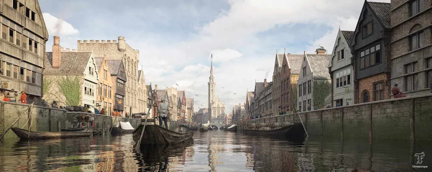
Thanks to the latest archaeological research from Ghent University, the architecture and daily life of the Zwin harbours were reconstructed: Bruges in 1431, Damme, Monnikerede and Sluis, which in the Middle Ages ranked among the most important ports in Europe.
Multisensory mediation
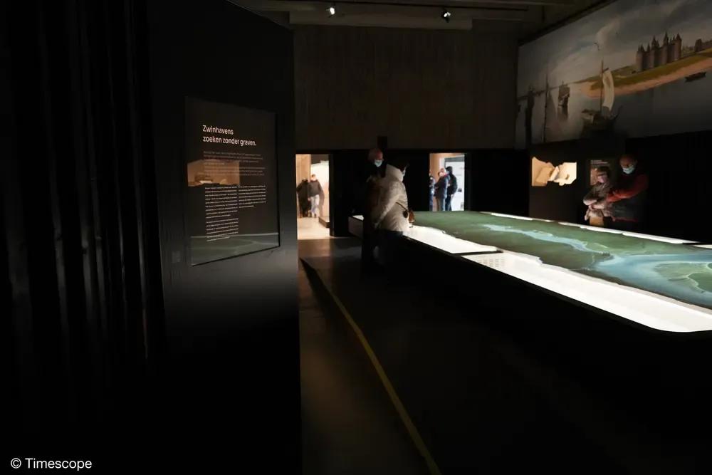
Inside the exhibition, the mediation is multisensory: visitors dip their hands into an interactive sandbox to understand the silting of the river, follow the changing landscape on a territorial mapping, and walk through immersive rooms.
Beyond the walls, along the cycle path
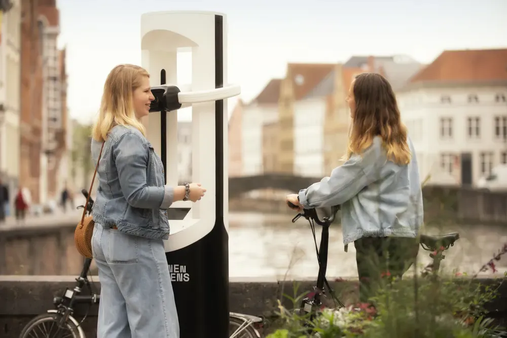
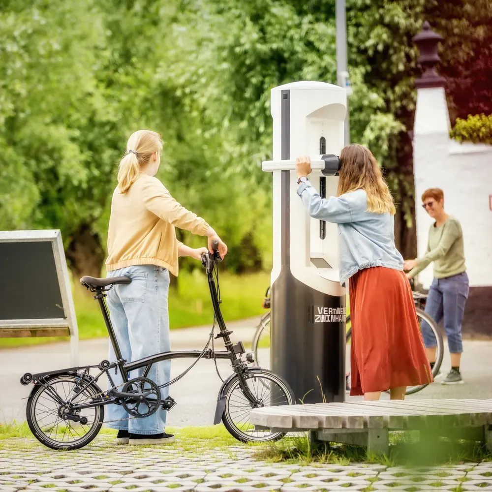
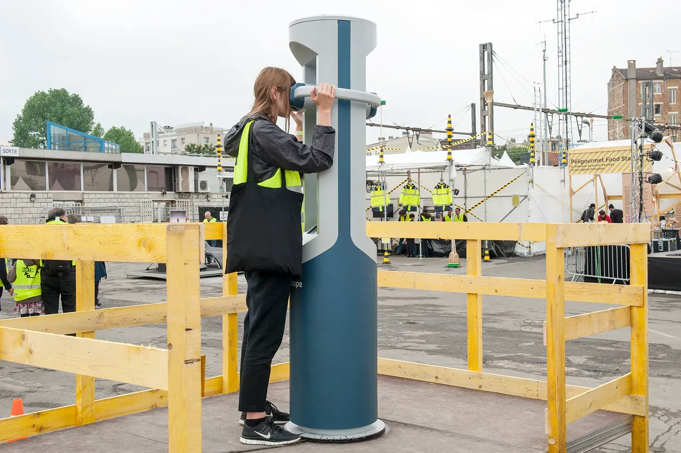
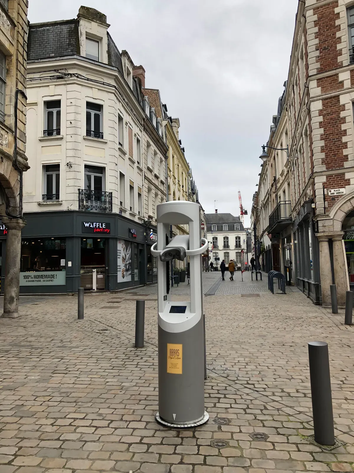
Self-service Timescope kiosks line the cycle path of the Zwin nature park, giving cyclists a 360-degree view of the medieval landscape and its vanished harbours. An augmented-reality archaeological treasure hunt adds a playful layer for younger visitors.
Launched on 3 July 2021, the project grew in 2022 with a video mapping created with Musea Brugge for the permanent "Bruges and the Sea" display at Bruges City Hall.
In pictures